
In many points of the world there are remains of ancient civilisations. The age of some of them is estimated for more than 12 000 years when the last ice age finished and maybe great flood occured. There is a hypothesis that Great Pyramid and Sphinx were build before it because they have traces of water erosion. Maybe in Kenya there was one of the antediluvian civilizations?
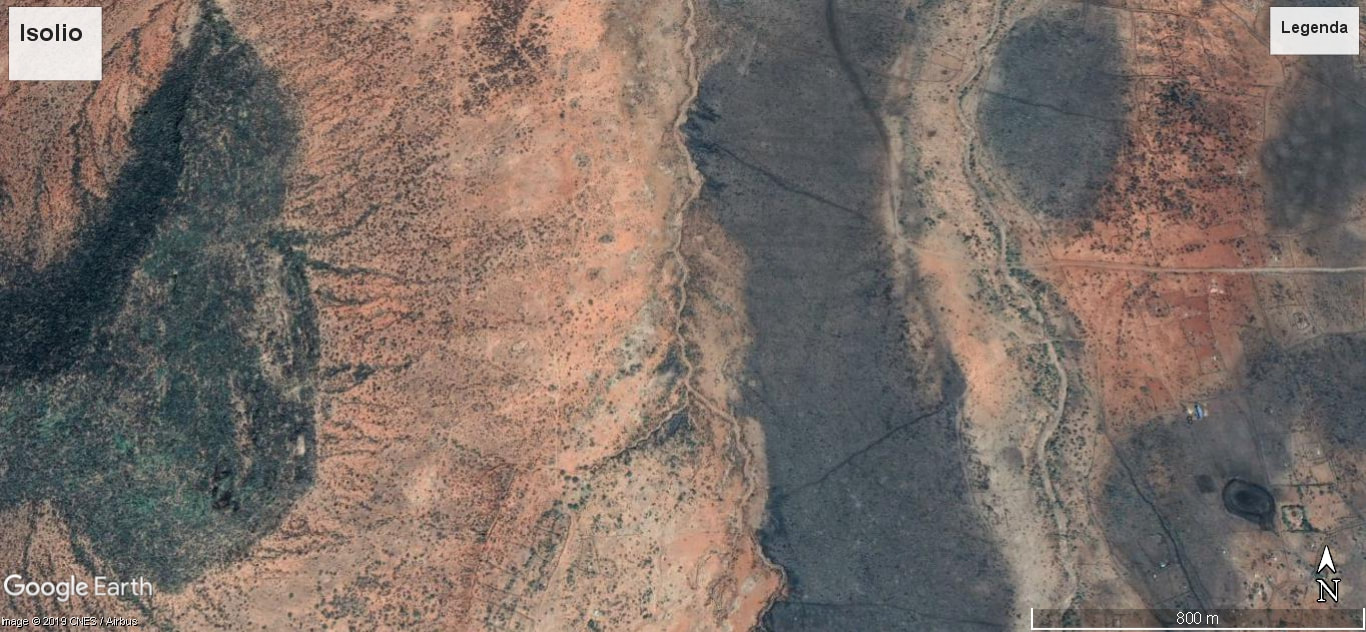
During my stay in Isiolo in Kenya I went for a walk to mountains direction. In the photo below (from Google Earth) you can see a small volcano which is in the right down corner. Inside the volcano I found a stone which is presented in the introduction photo. In the right side of the photo it is the hill - the aim of my walk.
During my stay in Isiolo in Kenya I went for a walk to mountains direction. In the photo below (from Google Earth) you can see a small volcano which is in the right down corner. Inside the volcano I found a stone which is presented in the introduction photo. In the right side of the photo it is the hill - the aim of my walk.
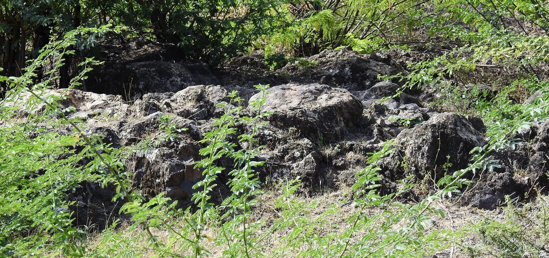
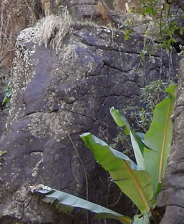
This volcano was very small. Outside it looked like in the photo below.

Inside - like that.
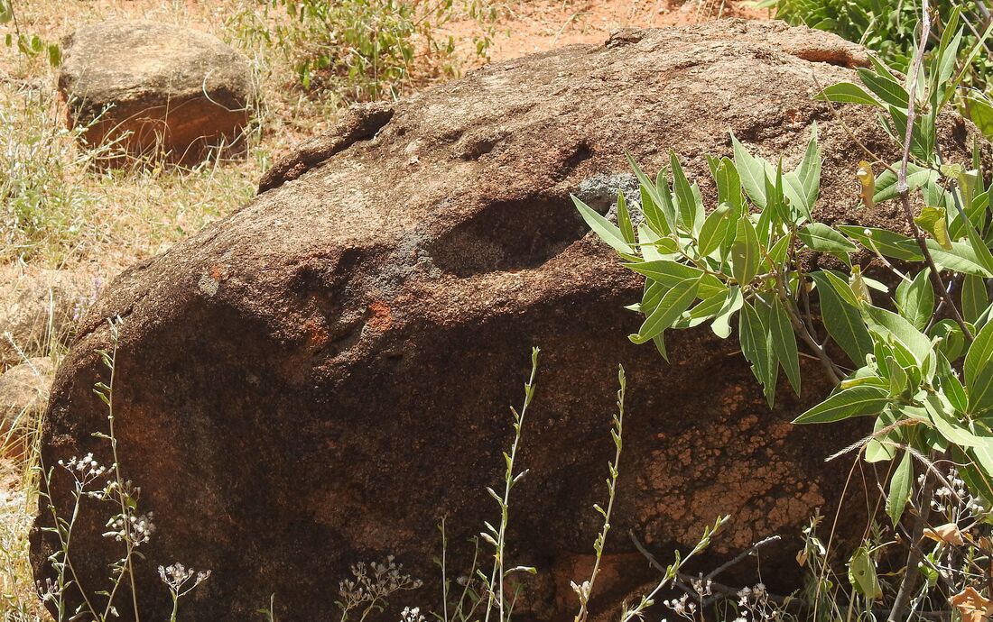
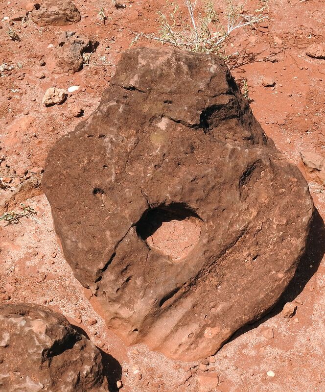
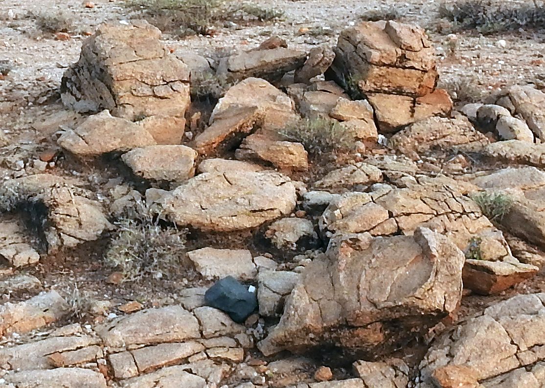
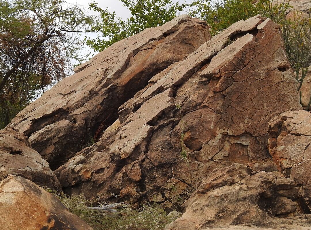
Inside the volcano, I found a stone that looked like it was cut up
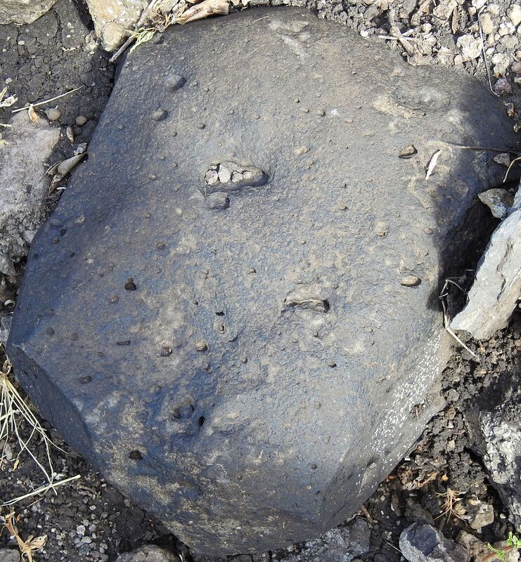
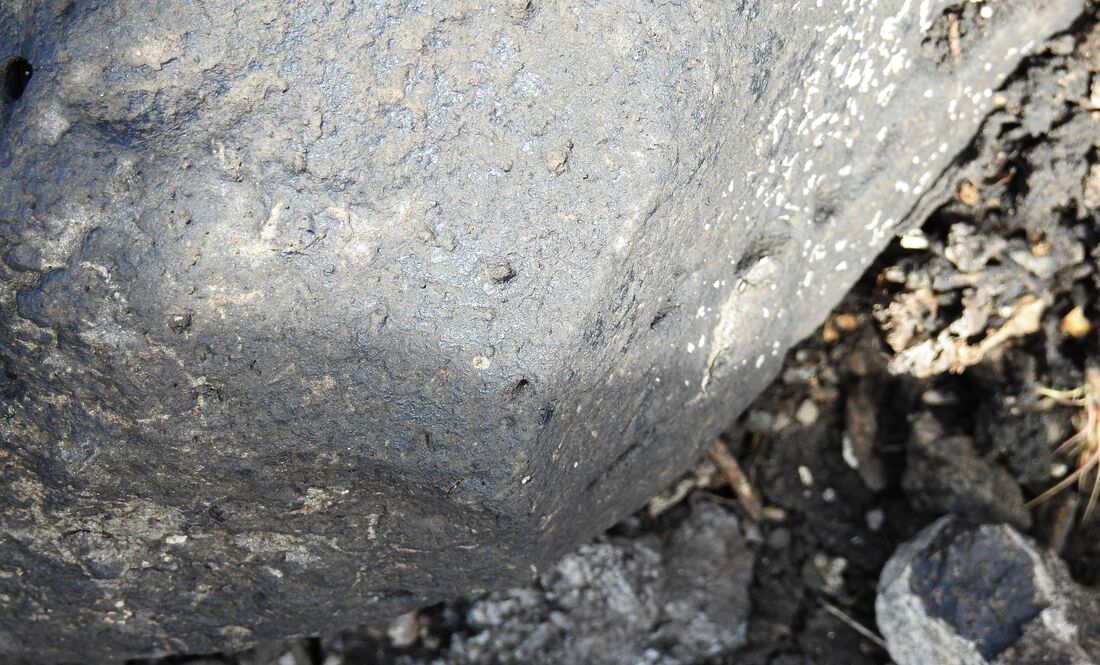
and drilled.

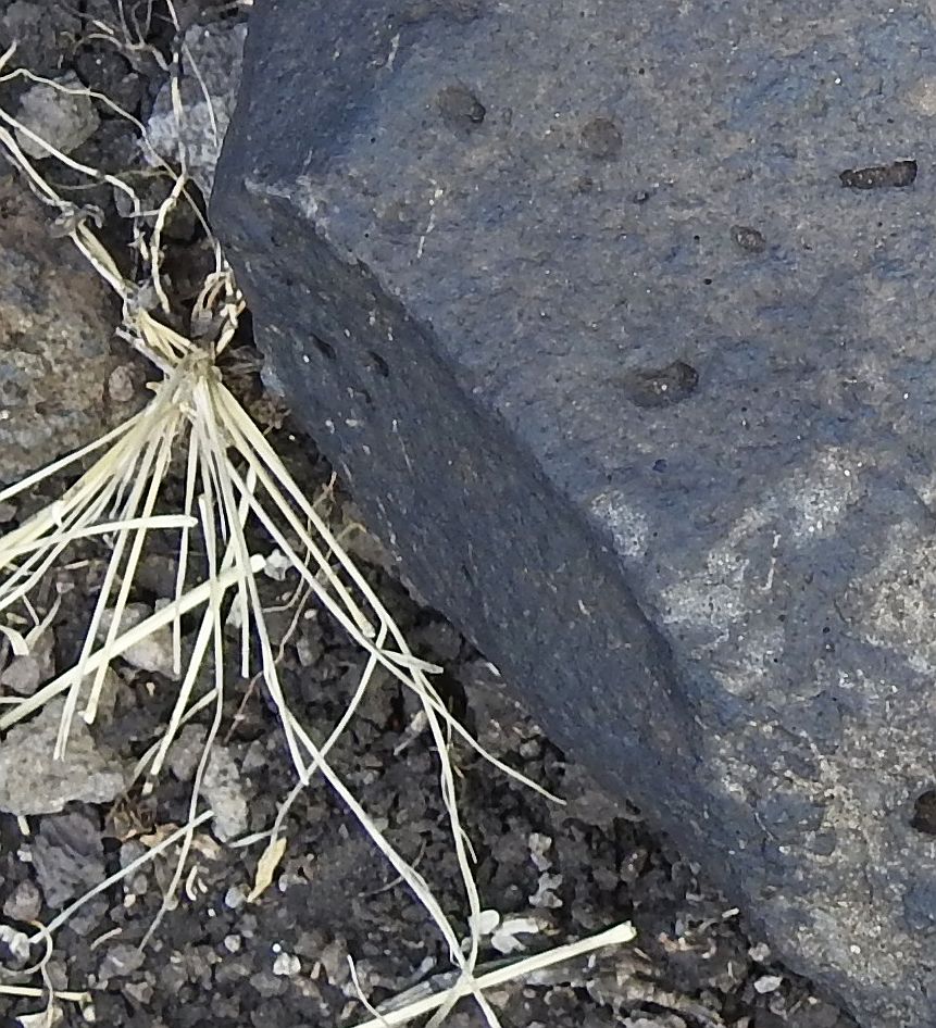
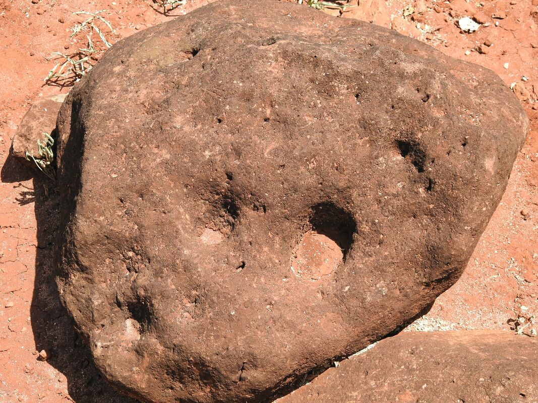
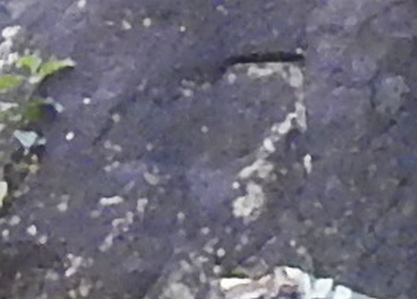
Next to this stone it was next one which looked like was worked by tools
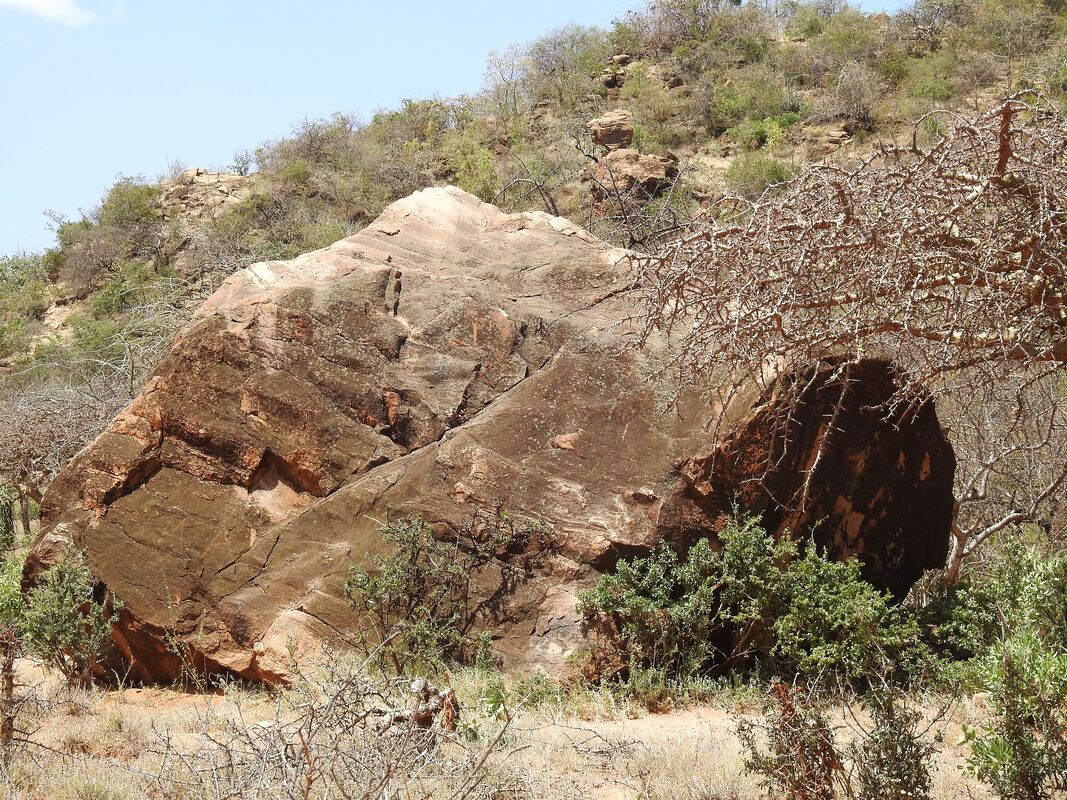
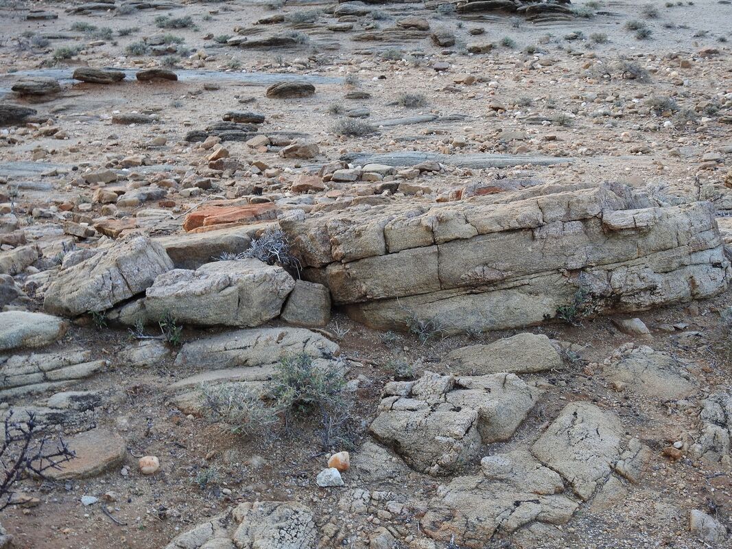
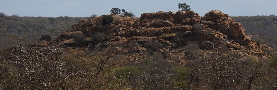
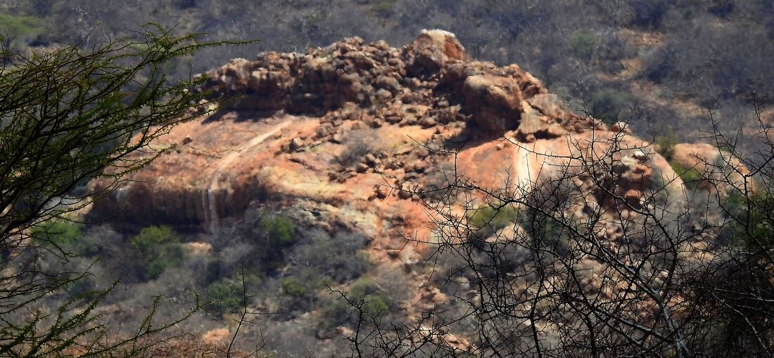
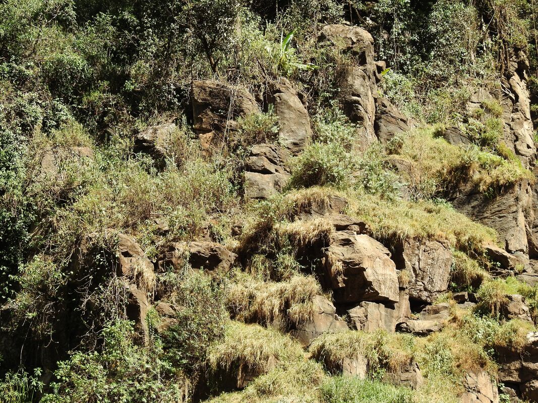
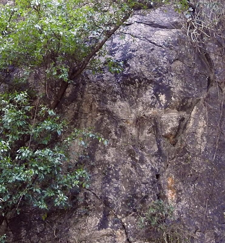
When I reached the hill mentioned at the beginning, I got the impression that it was some kind of quarry
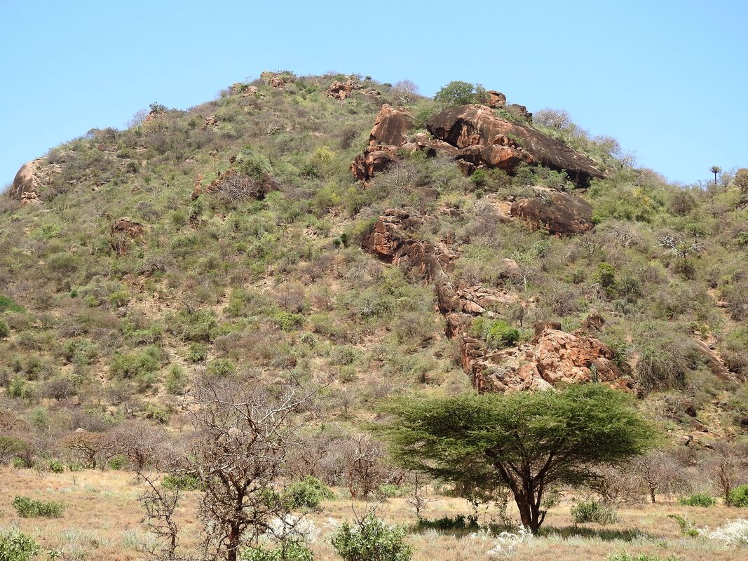
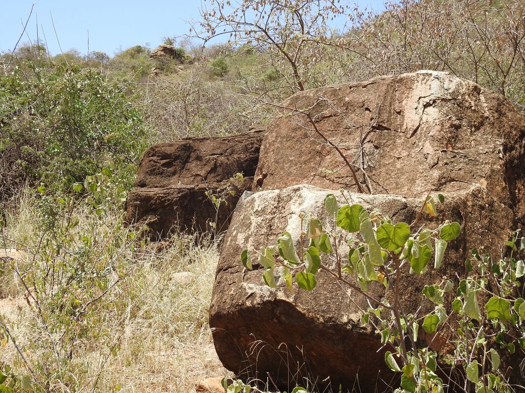
There was a scar along the mountainside, suggesting that someone mined stones. At the foot of the mountain there were boulders.

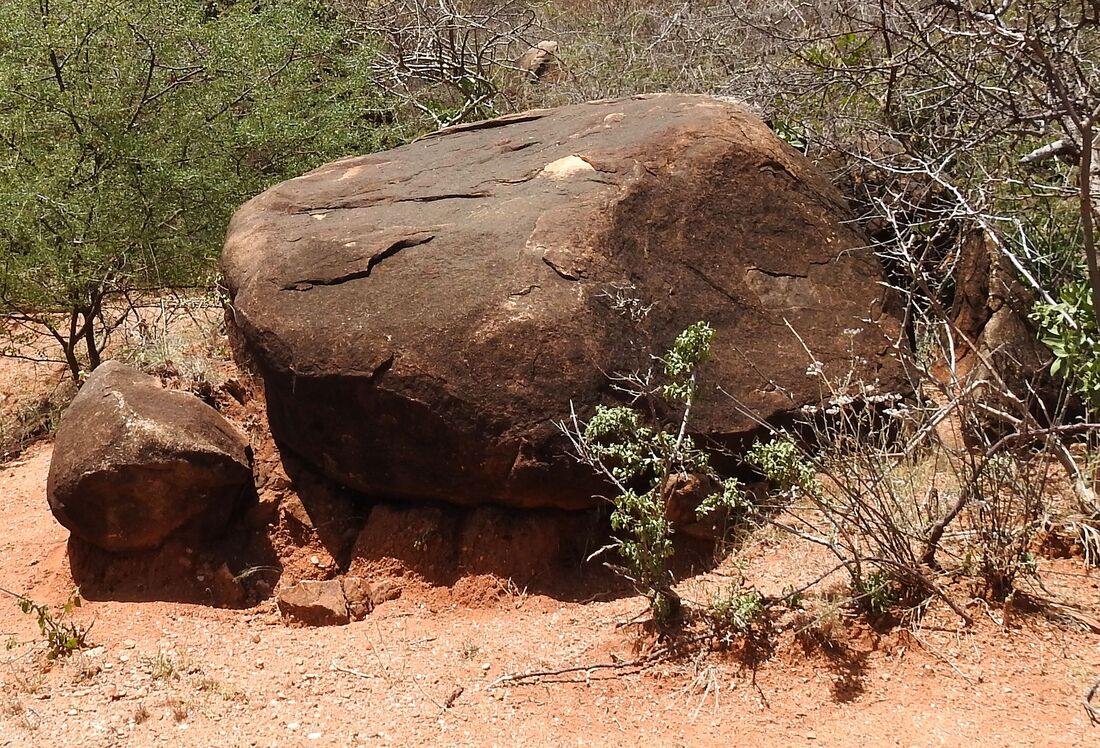
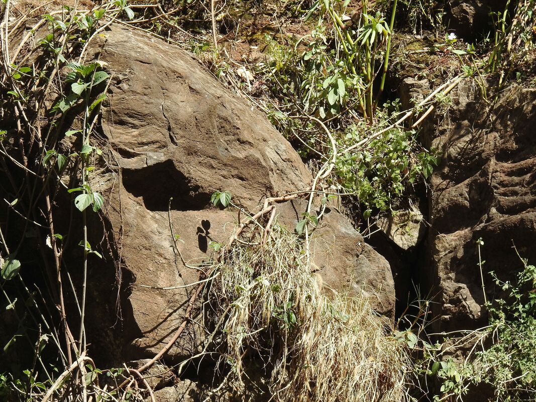
The boulders depicted in the pictures could have slipped from the mountainside by themselves of course, but also someone could have helped them and for some mysterious reasons left them there. Some of them bear traces suggesting that someone tried to roll them further by lifting using beams and put sand under boulders.
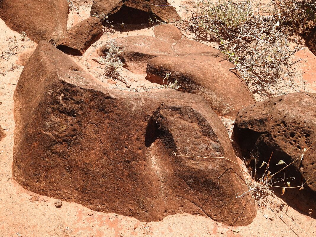
On the slope of the mountain there were rocks that looked like someone sculpted them preparing for rolling.
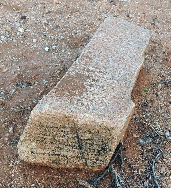
There were boulders similar in shape to the cuboid
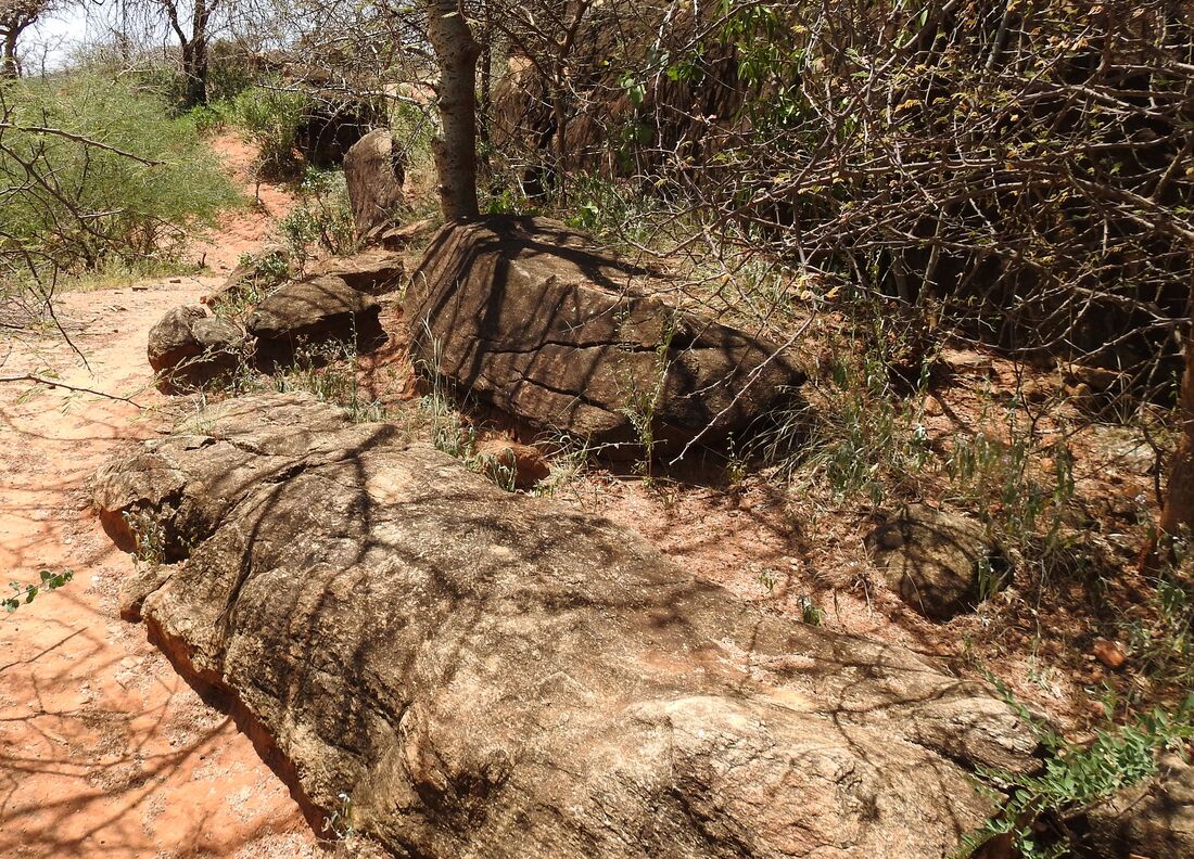
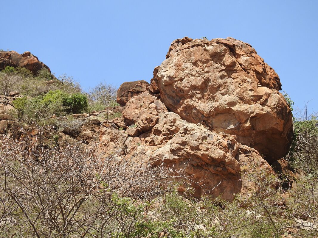
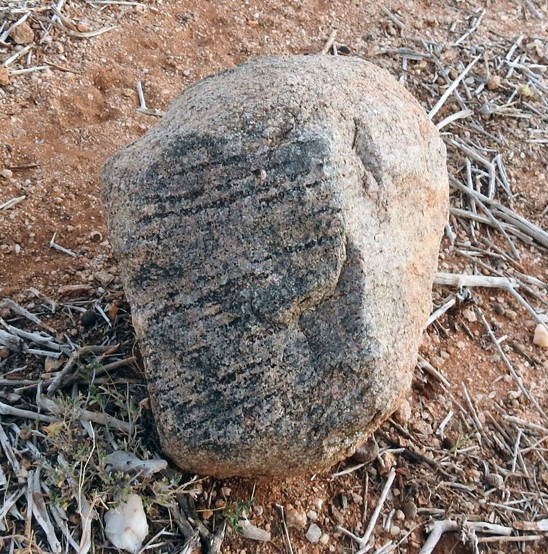
and also more elaborate shapes.
Looking on the stones I have seen some associations with stones in Cotcot river near Mulao in Philippines.
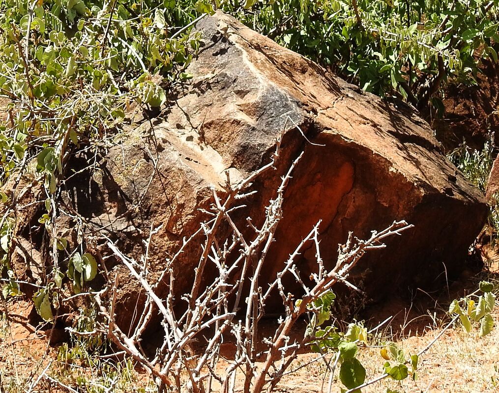
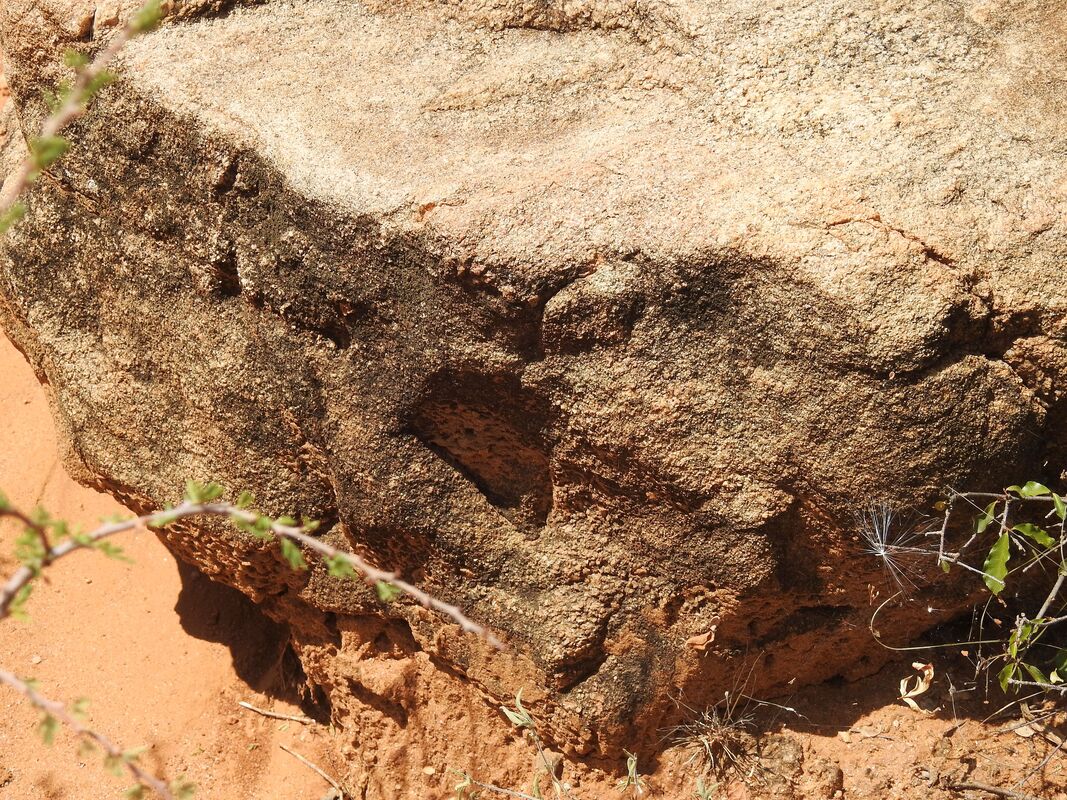
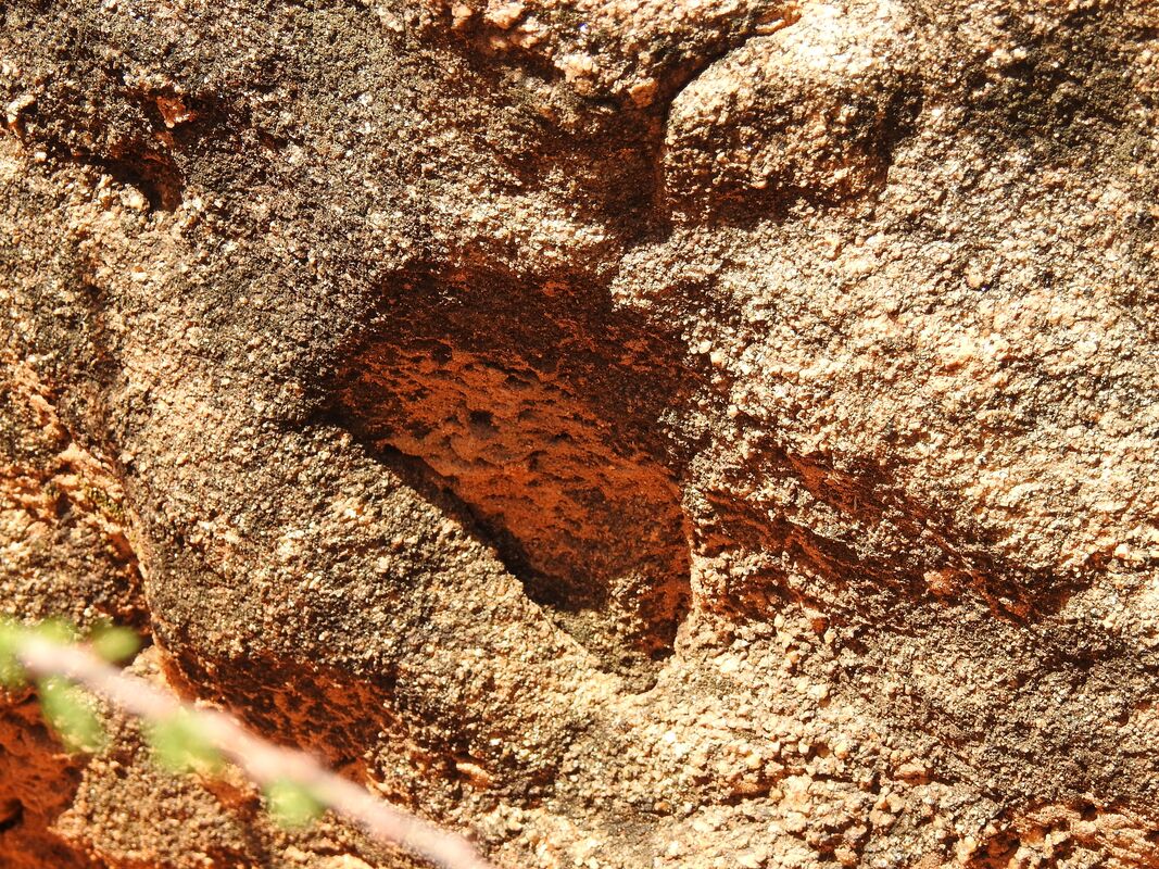
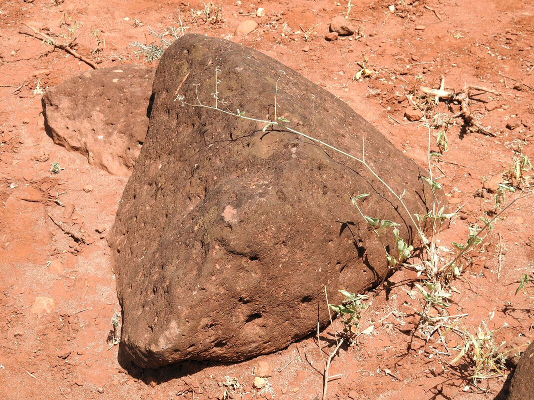
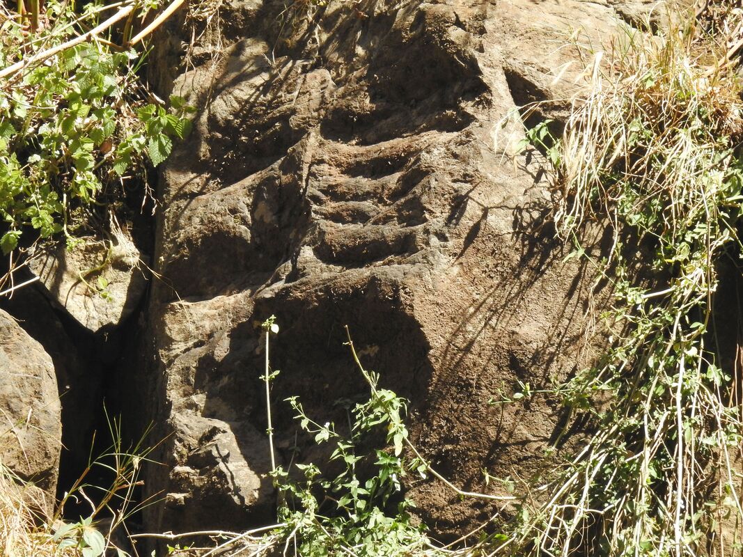
Some stones had traces of machining with tools.
Some stones had traces of machining with tools.
Similar cuts in stones, as in the pictures above, I saw in Indonesia on Mount Lalakon.
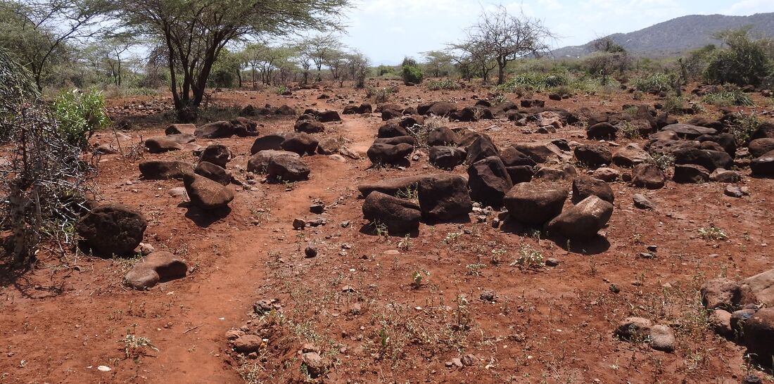
Between the small volcano and the mountain described above, the terrain is practically flat, and there were a lot of stones looked as someone had thrown them there, or a strong flooding wave or glacier brought them.
Below there are stones near Isiolo.
Between the small volcano and the mountain described above, the terrain is practically flat, and there were a lot of stones looked as someone had thrown them there, or a strong flooding wave or glacier brought them.
Below there are stones near Isiolo.
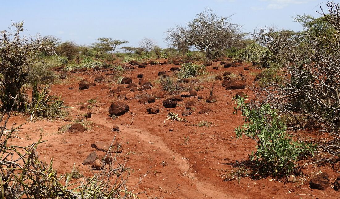
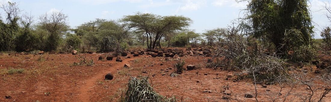
and below - erratic boulders left by the glacier.
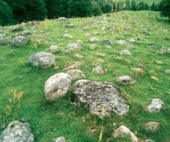
It is some resemblance that it was glacier, but according to accepted knowledge in Kenya (except Mt. Kenya) there are not and there were not glaciers in the last millions of years, when Africa has laid more or less in this place like today. So there could be a great flood or another unusual cataclysm. About the flood as a real incident many authors write and speak, among them dr. Kent Hovind in his movie "The Hovind Theory about the Flood".
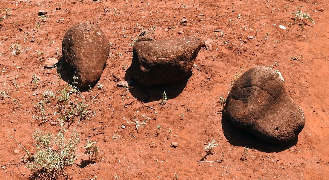
Some of the stones lying in the desert had an unnatural, in my opinion, shape.
Some of the stones lying in the desert had an unnatural, in my opinion, shape.
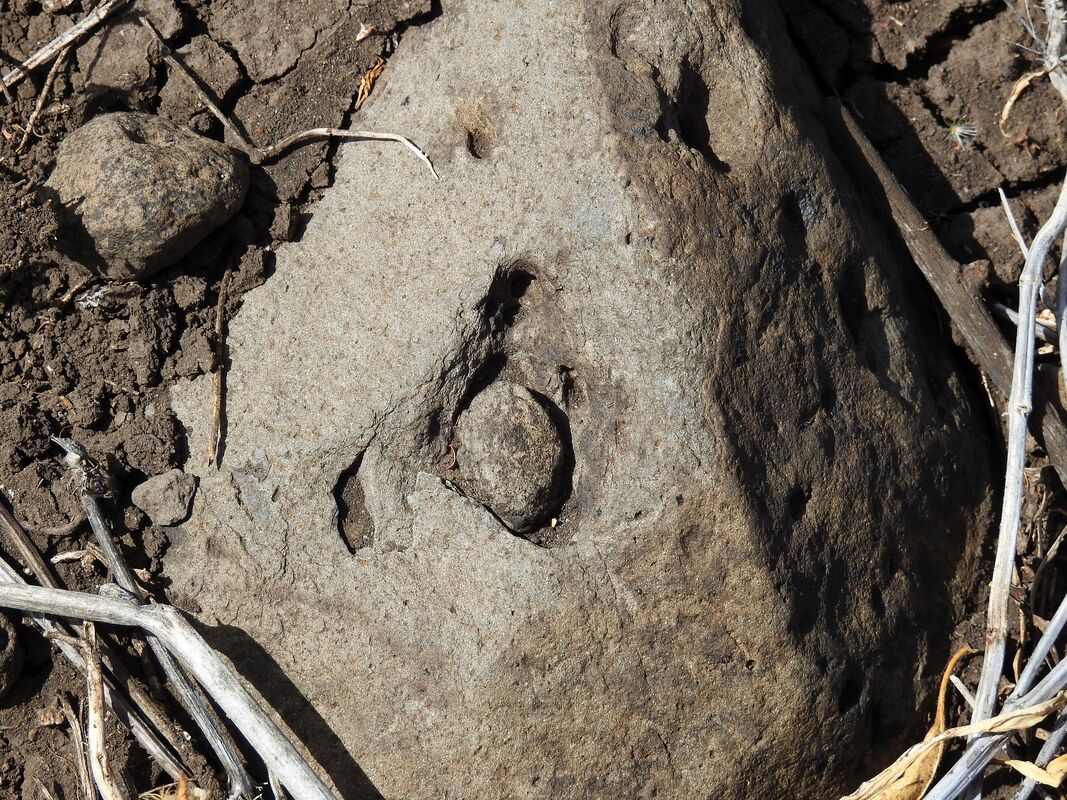
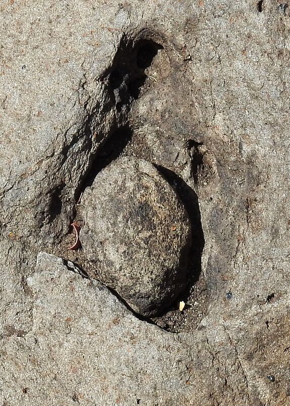
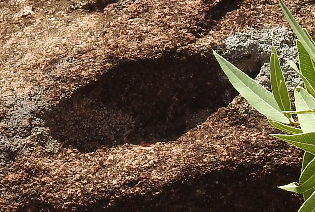
On some of them you could see drawings, eg. a shoe print.

In others, you could see boreholes.
It was Isiolo. Next I moved to Laisamis. I found there something looked like remains of ancient human's activity also. In photo below it is something that looks like some ruins.
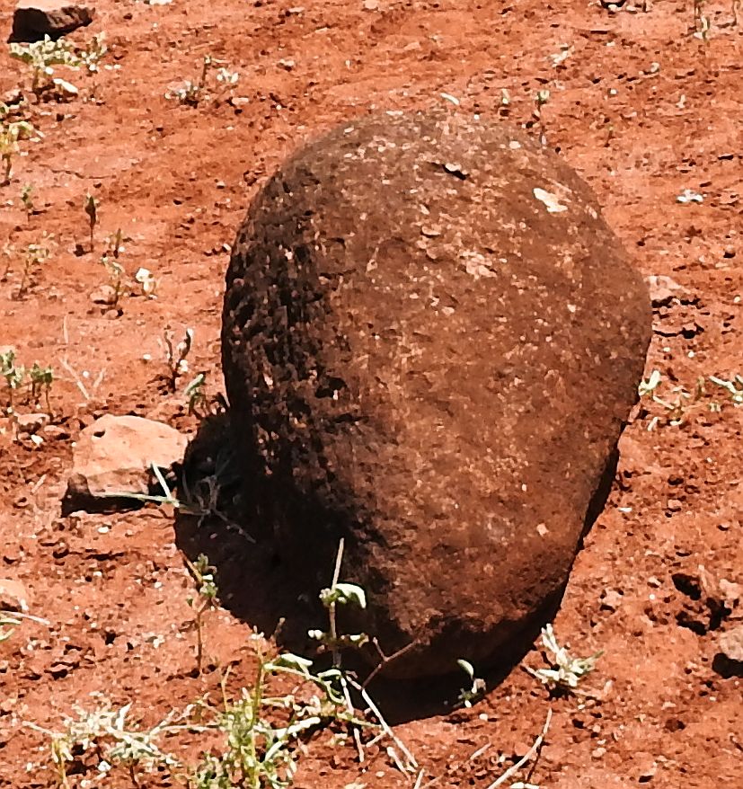
Untypical stone

In neighboring Merille you could find the original rocks also.
On the Merille - Laisami way you can see hills that look like someone has built a wall on a rock. The wall could be a remain of another construction.

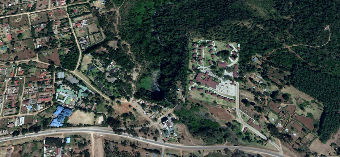
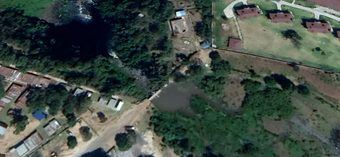
Another interesting place is Nyahururu and Thomson's waterfall. The waterfall and the valley that the river has carved out you can see in following pictures.

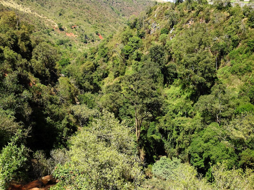
Looking in a Google Earth map you can be surprised how this small river could dig this big valley especially that a few meters before the waterfall it flows smoothly over the plain without creating a valley.
It could be that the hypothesis of Big Flood is not bad. First, a great wave brought a lot of mud and more or less leveled out the whole area. Somewhere near, probably above the waterfall, remained a lot of water and at one moment the water broke the blockade and ran down carving of a valley in a soft settlement. Later the sediment petrified. Looking at the cross - section of altitudes received from Google Earth passing below the waterfall and above you can come to the conclusion that this simple hypothesis could be true.
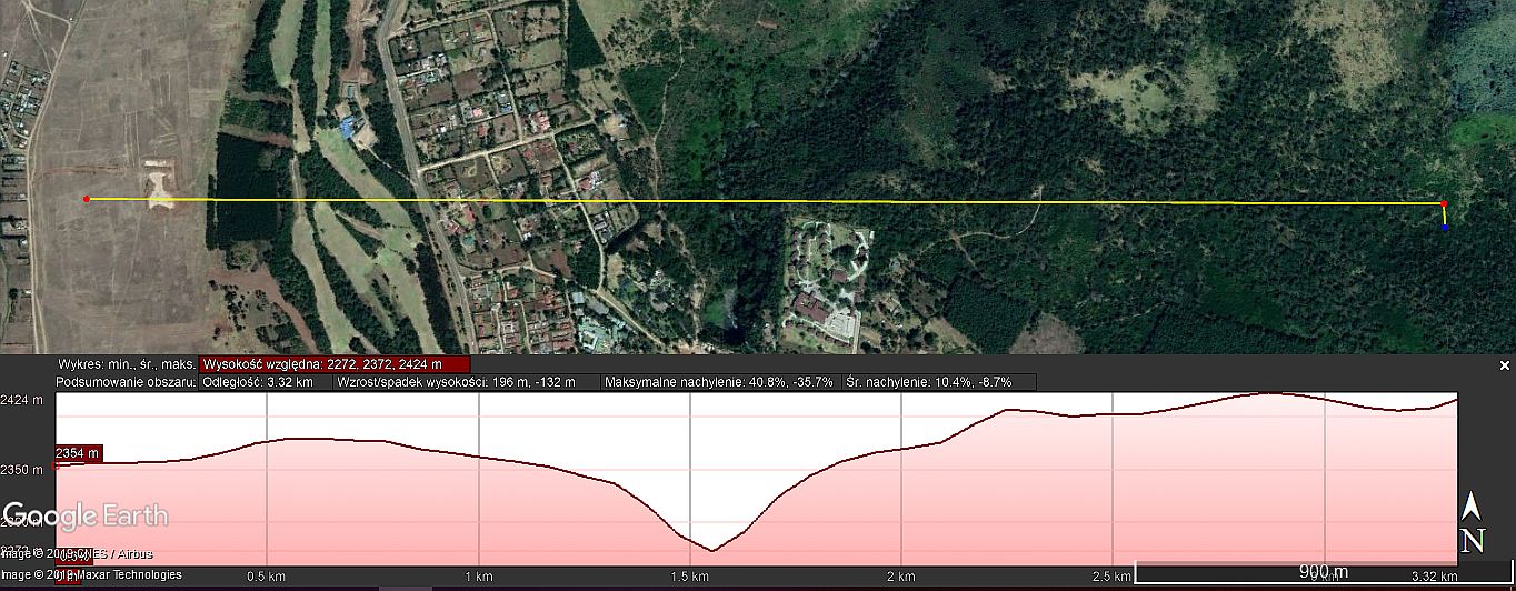
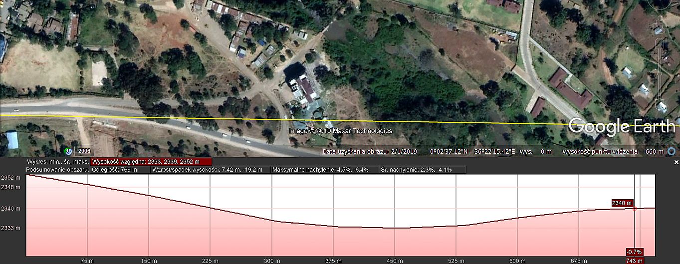
From the cross-section you can see that above the waterfall there is a basin that could collect water in the past.
Looking at the rocks near the waterfall, you can see results of likely human activity in the past.
Looking at the rocks near the waterfall, you can see results of likely human activity in the past.
The above premises may indicate that thousands of years ago in Kenya there was an organized society with high technical skills.
 RSS Feed
