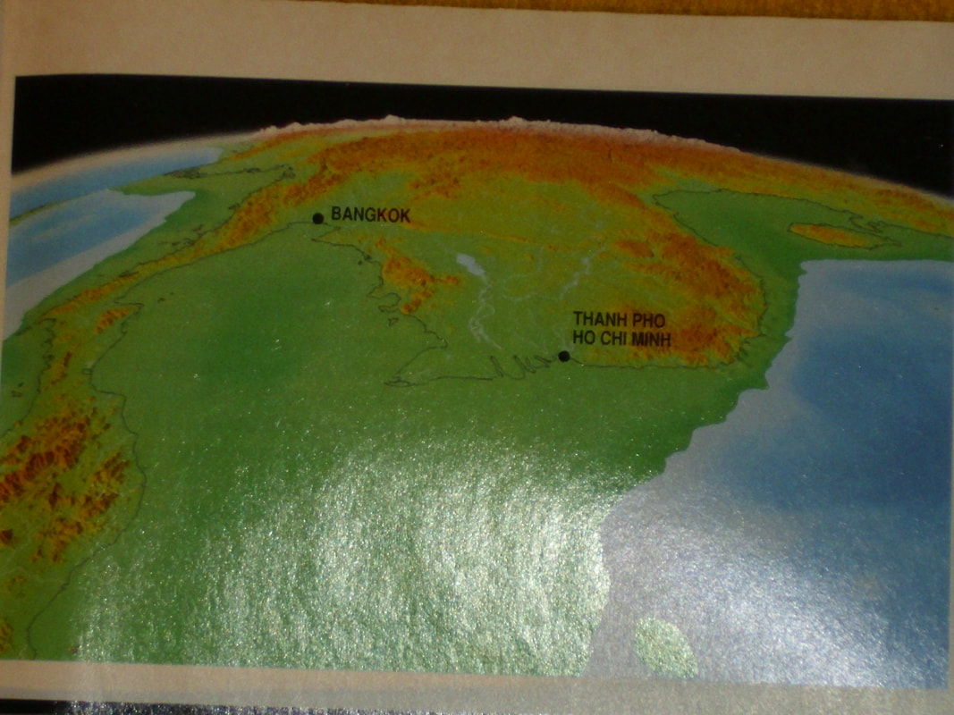
On my blog, I have considered the possibility of existence a civilization in Southeast Asia during the ice age. I have mentioned strange stones in Mulao on Cebu island and Chocolate Hills on Bohol island in the Philippines. I have described pyramids of Gunung Padang and Borobudur on Java island in Indonesia. I have also suggested that people could co-exist with dinosaurs on the Lantau Island of Hong Kong. Lately recently, I found David Schneider's article "The Rising Seas" in the "Scientific American" journal of May 1997, which cointained an image (presented above) showing that 20,000 years ago Indochina and Malaya peninsulas were connected with Indonesia. As you can see, it was a large piece of land. As we know, the most number of largest cities in the world, such as Tokyo, Shanghai or New York, are located by the sea. We know from history that people have not changed their fundamental habits for millennia, so 20,000 years ago they settled their colonies by the sea also. So, if we want to find convincing evidences of the existence of cities in the ice age, we should be looking for them on the seabed far away from land, perhaps hundreds of kilometers from the coast. Nowadays, centers of worship are located inland, such as Jasna Góra or Lourdes. Like today, dozens thousands years ago some settlements and centers of worship were inland also. It can be presumed some contemporary centers of worship or holy places may be located on remains of the ancient civilization. Such residues could be the Lalakon mountain (coordinates 06, 57'29.11 "S and 107, 31'15.31" E) and Sadahurip (coordinates 7,179926 S and 108.041611 E) on Java island in Indonesia.
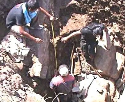
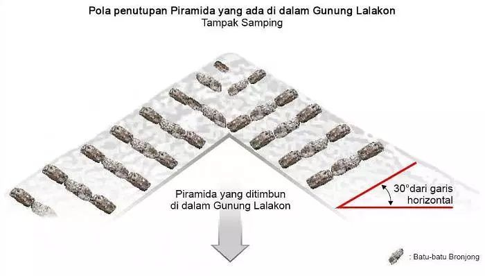
In 2011, members of the Turangga Seta Foundation made research on the Lalakon Mountain. They stated that the GPS signal was garbled there. They measured resistance of ground using the electrical resistivity imaging technique (ERI). Based on the ERI results, they made excavations and discovered stones with a length of 1.1 to 2 m and a width of 0.3 to 0.4 m arranged in layers (photo on the left side taken from the article "Pyramid Lalakon dan Sadahurip"). Researchers concluded that the Lalakon hill was not created naturally, but was an artificially raised pyramidal mound. According to the head of the research group Agung Bimo Sutedjo, the found boulders formed an angle of 30 degrees with the level. The figure below, taken from this same article, shows the hypothetical construction of the Lalakon mountain.
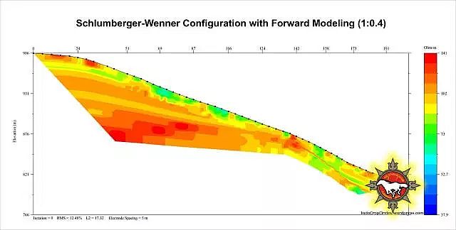
Research suggests existence of an artificial construction inside the Lalakon mountain, as it is shown in the image obtained with the ERI results.
I wanted to see it by myself. In a small restaurant near the mountain, the driver who drove me there, asked the owner of the restaurant about the secrets of the pyramid. The owner of the restaurant long time spoke about the mountain but in Indonesian. I could not understand anything. Next the driver tried to explain me what he heard. Unfortunately, I do not know Indonesian and the driver could not speak either Polish nor Russian, only a little bit of English. The only thing I found out was that Lalakon was a holy mountain and you could not do bad things on it, because the mountain would punish you. The mountain had a wide range of penalties from losing your way home to death. If you wanted to do something that you supposed the mountain could not like, you had to ask it for permission. It should look like this. You had to focus on what you wanted to do and ask for permission. If you felt in your soul, that the mountain agreed, then you could do it. If not, then no, because the mountain would punish you. The driver found me a guide (unnecessarily, because the way to the top was easy), who spoke only in Indonesian. The driver stayed at the foot of the mountain and the guide and me went to the top.
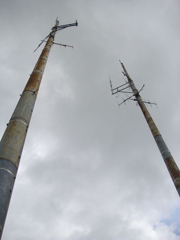
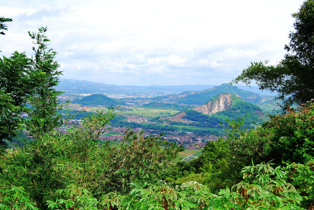
One half of the peak was cleaned of trees and leveled. On this side there was a base transceiver station (BTS), which is shown in the pictures below. Maybe it jammed the GPS signal which was reported by researchers from the Turangga Seta Foundation. The other half of the top was covered with dense bushes, what you can see in the background of the first photo below.

I had a compass with me. I checked where the North was, where the South and which peaks were located near the North - South line.
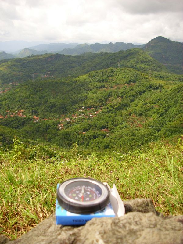
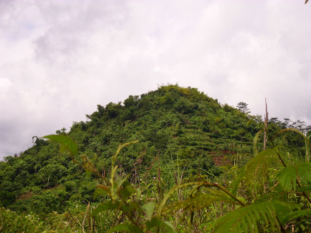
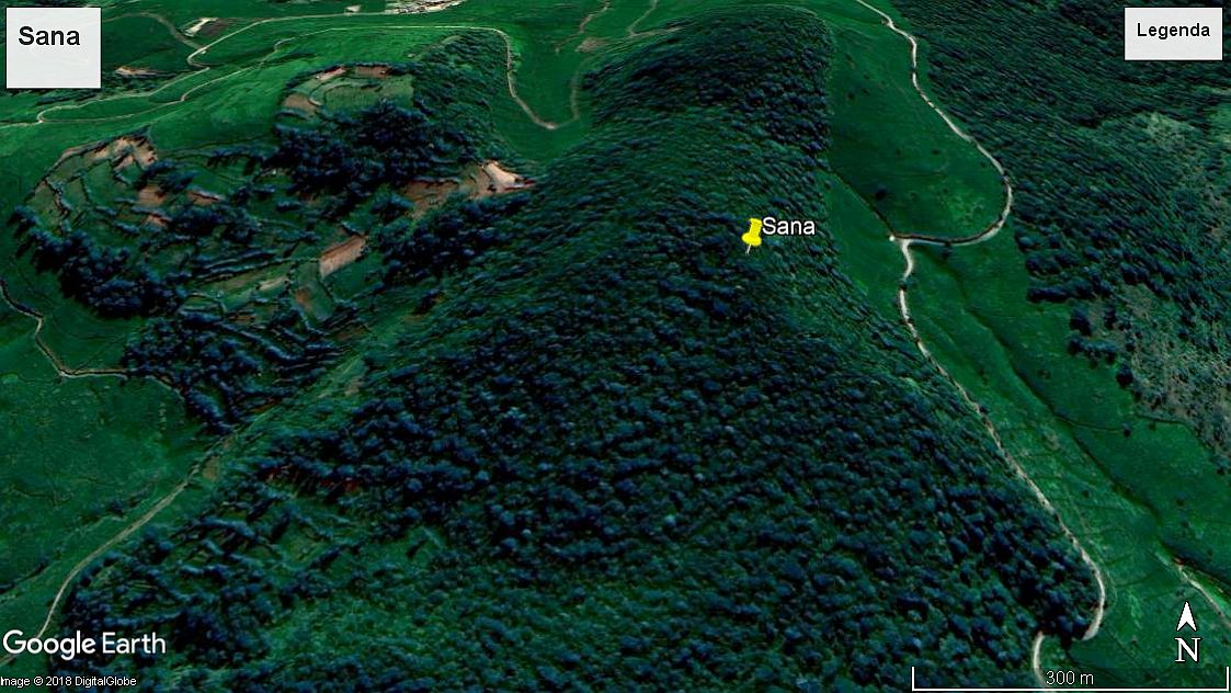
As you can see on the North - South axis there is no significant mountain towards the South, but I found a peak biased about 20 degrees from the South - North line, which the guide called Sana. He even wrote this name on a piece of paper. Google Earth has not found a mountain with this name in the area. I checked Google Translator and it turned out that "sana" means "there" in Indonesian. I stayed with this name and I marked it on my map. This mountain has an interesting shape. As you can see in the picture from Google Earth, Sana has the shape of a triangular pyramid, which means that it can also be an ancient pyramid.
In the northern direction on the Sana - Lalakon line was the Tangkuban Perahu volcano. The guide written this name on my piece of paper. This volcano was found by Google Earth, and even Wikipedia mentioned it. The last eruption was in 2013. The photo towards the North is shown below.
In the image downloaded from Google Earth you can see the mutual position of these three hills. The blue line shows that these three mountains lie exactly on one straight line.
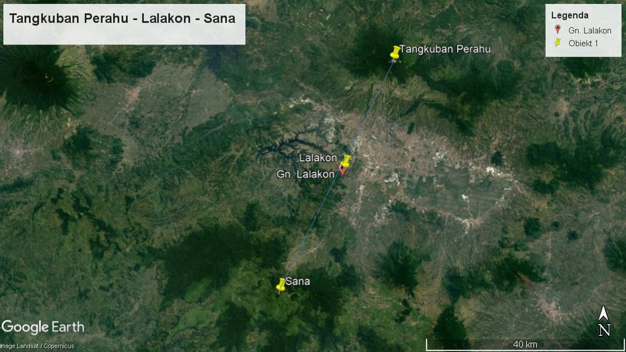
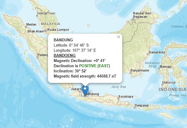
You could see that the compass did not go crazy, because Google Earth showed more or less the same deviation of the Sana - Lalakon line as well as the compass. It seems Lalakon affects the GPS signal, but not the usual compass. The magnetic declination in this area is minimal, which means that the southern magnetic pole coincides almost perfectly with the northern geographic pole, i.e. the indications of Google Earth and the compass are almost identical.
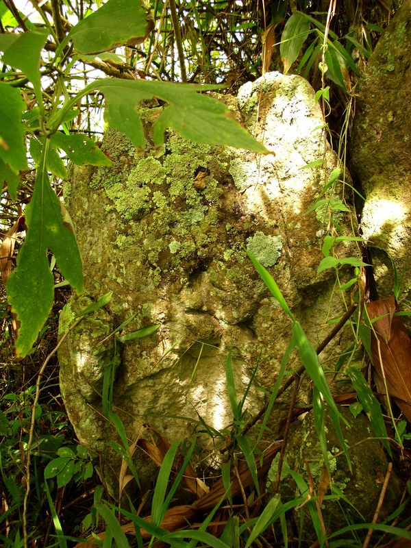
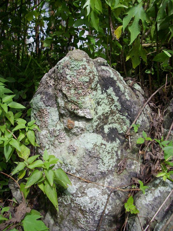
I entered in the bushes adjacent to the BTS and found there some stones that looked like old sculptures and elements of buildings.
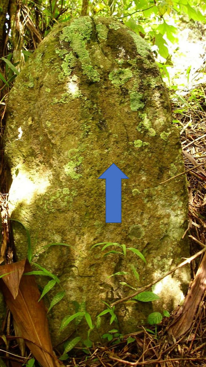
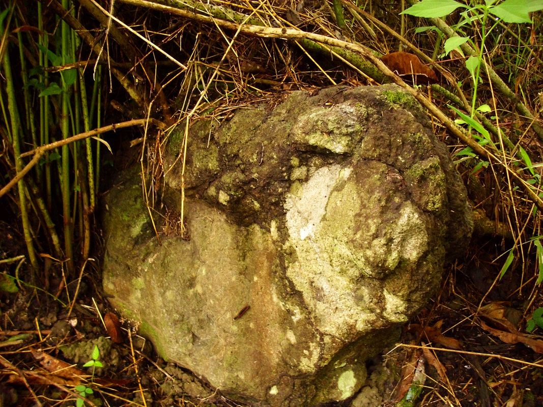
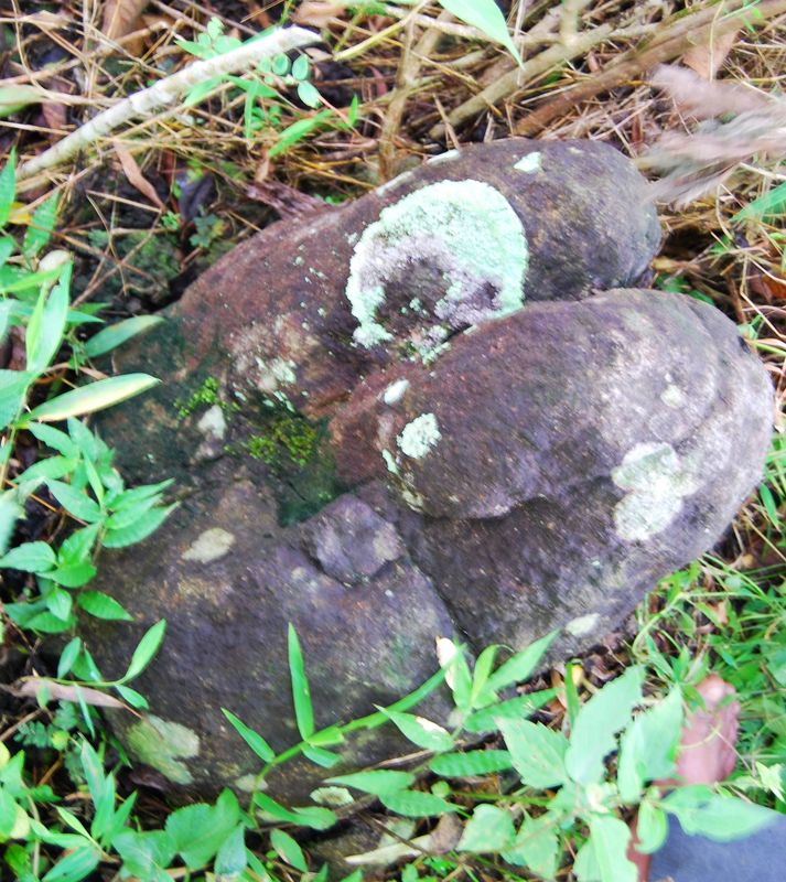
Near the top, I found other interesting stones that looked like someone was drilling in them and installed clamps or anchor plates.
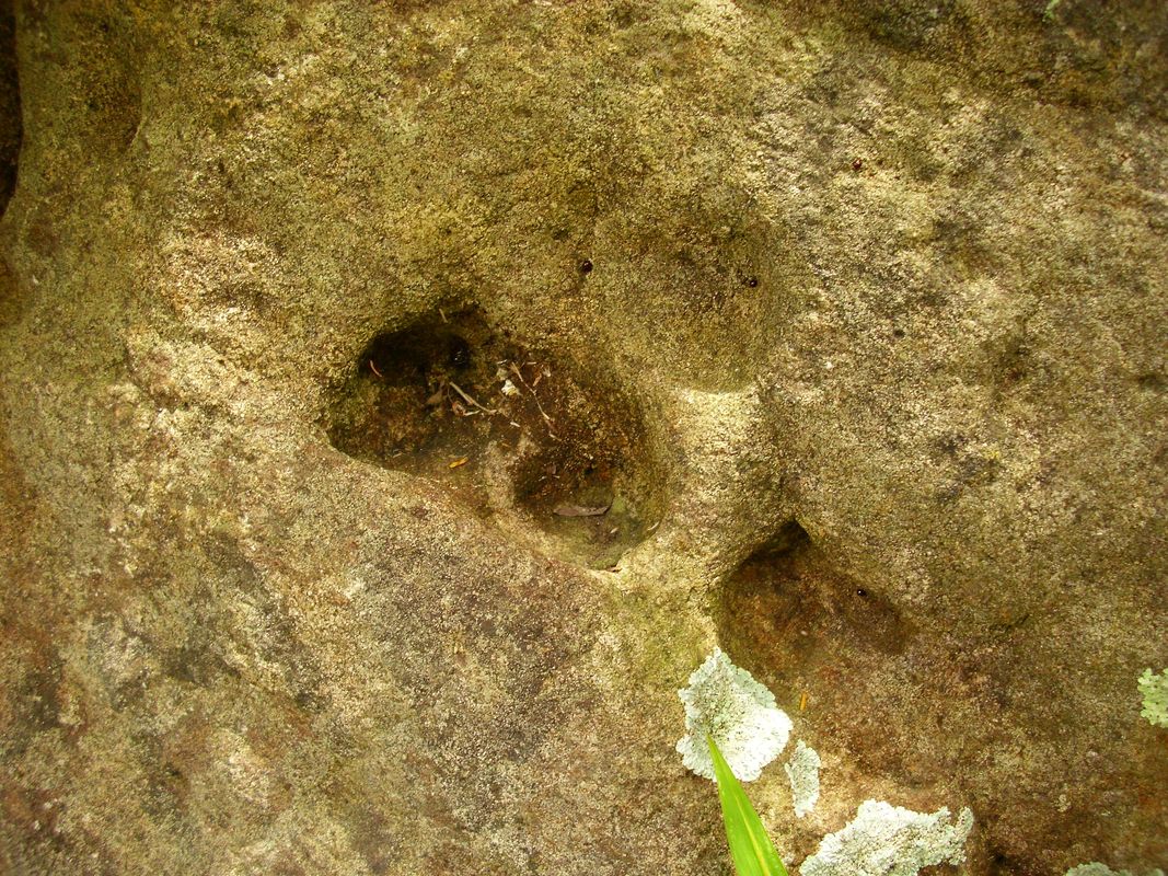

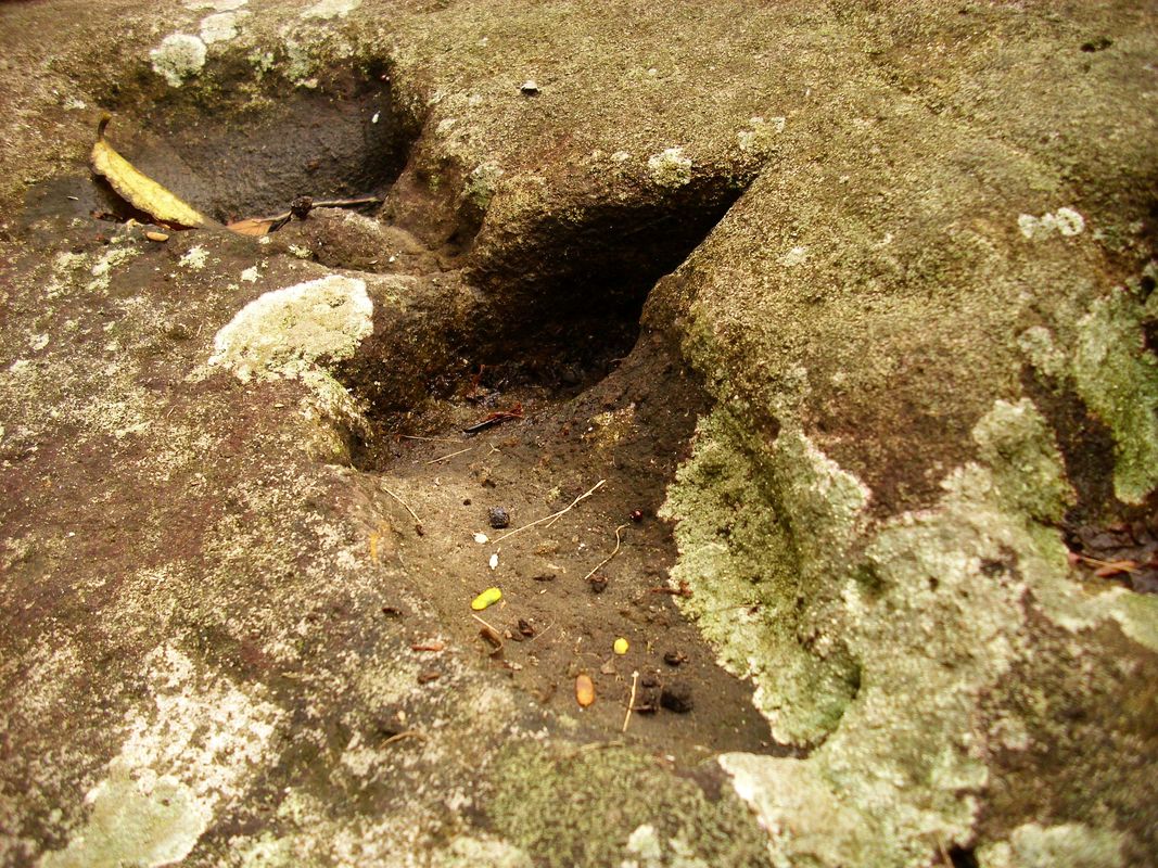
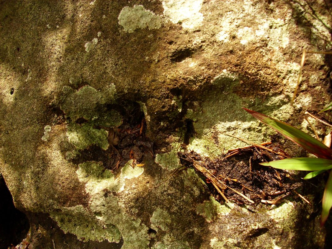

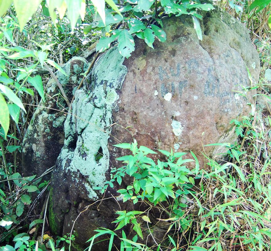
One of the stones has already been painted by someone. It seems that I have not been the first who found it.
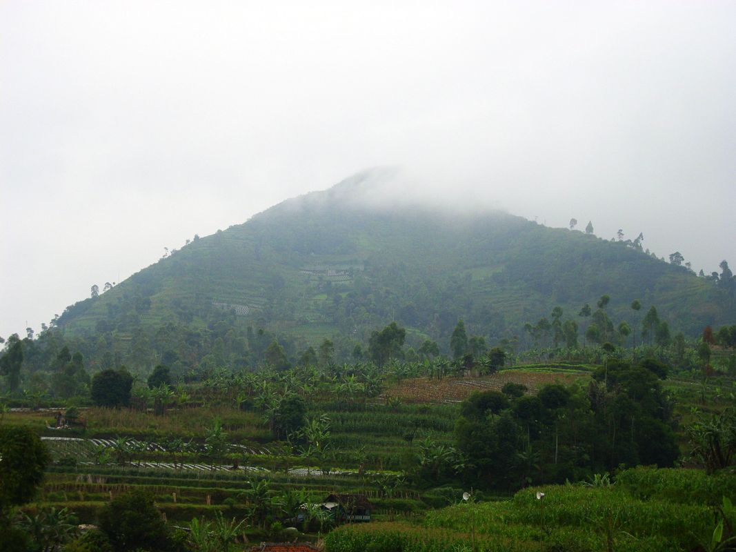
I have climbed to the second of the pyramids mentioned at the beginning of the article, namely Sadahurip. On the eve of my trip, the mountain looked very nice.
I have climbed to the second of the pyramids mentioned at the beginning of the article, namely Sadahurip. On the eve of my trip, the mountain looked very nice.

But on the day when I was climbing it the top was covered with fog.
Apparently Sadahurip was also a mountain with a soul just like Lalakon and it did not like that someone like me wanted to climb. Mountainsides were covered with farmlands almost to the top.
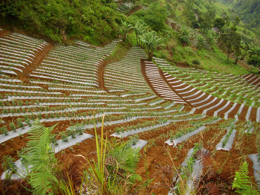
Farmlands at the mountainsides are shown even in Google Earth.

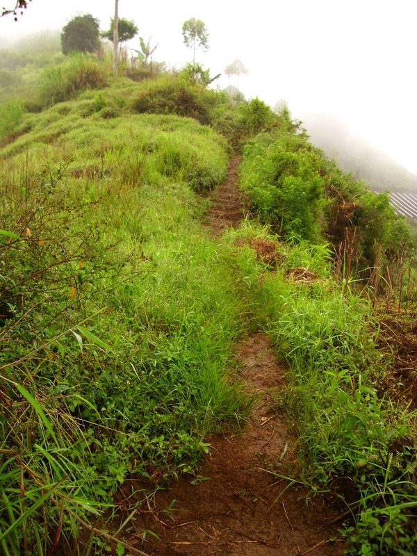
The path leading to the top was soaked by moisture and very slippery.
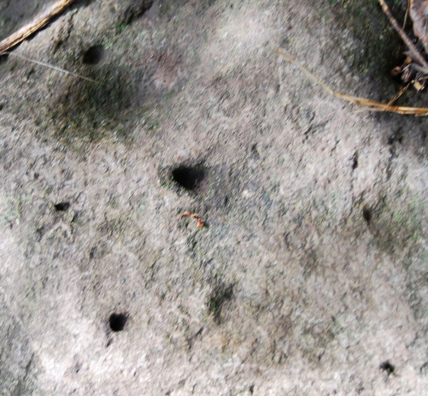
The peak was flat. Interestingly, there were no trees or thick bushes there. I wondered why hard ground was in the center, without any vegetation. In such climatic conditions, the area of packed soil should become green within a few days. Apparently, someone takes care about the top of the mountain and removes all plants from the certain zone.

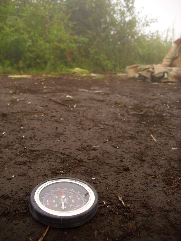
Due to the dense fog I could not see the area around the hill. The compass was unuseful because I could not see any characteristic points.
I did not find any interesting objects at the top and near it. I have not searched too carefully, because it was very slippery and walking on the slope around the top was dangerous. It seems that due to intensive farming on the mountainsides all artifacts that could be found have already been collected, large stones - removed. I suppose researches with ERI and ground-penetrating radar (GPR) could broaden our knowledge about this mountain. It was interesting that someone cared that the center of the top was without thick vegetation. Even vegetation at all. Perhaps until today some rituals are held here. It is not strange for me because on all the world people perform some rituals in certain places, which are secret or commercial. For some people it is a local tradition without a deeper meaning, for others - something with a deep spiritual value.
 RSS Feed
